School Streets: Cincinnati students map dangers for new safety plan
City officials cite high crash rates near schools and seek student feedback on the western corridor for a $1 million grant application.
By Stefan Kim ·
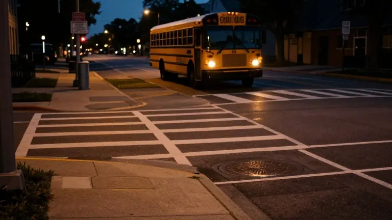
Ava Robinson remembers the moment a school bus clipped her on her walk to Western Hills High School. It was a close call in the Clifton neighborhood where the streetlights are often dim or out entirely. That near miss, along with the experiences of other students, is driving a new city effort to identify and fix the most hazardous spots on the route to school.
City data shows that nearly one in four traffic crashes in Cincinnati over the last three years occurred within 1,000 feet of a school. In response, officials are updating the five-year Safe Routes to School plan. The current focus is the western corridor, which serves four schools: Ethel M. Taylor Academy, Rees Price Academy, Robert Academy, and Western Hills.
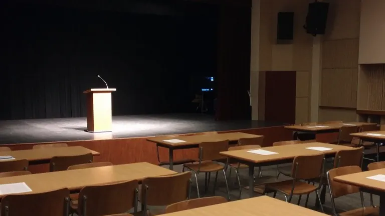
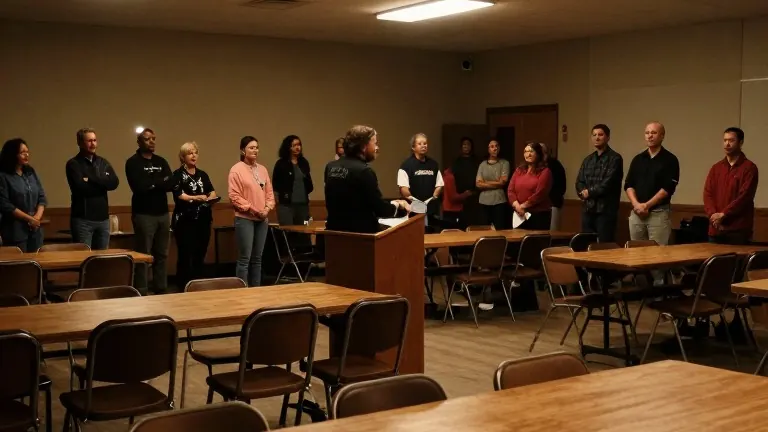
On Monday night, students, parents, and city leaders gathered at Westwood Town Hall to examine maps. They marked the specific intersections and sidewalks where the commute feels most dangerous. Robinson, a student at Western Hills, described the physical changes she hopes will make the trip safer. She cited the need for bike lanes, narrower car lanes, wider sidewalks, and more streetlights.
Richard Cox, another student at Western Hills, pointed out that the problem is often as simple as crossing the street. He said that when he presses the button at a crosswalk, most drivers pass by without stopping. He expressed hope that new infrastructure will reduce the stress of waiting for cars, buses, and signals during morning commutes.
Councilmember Mark Jeffreys stated that this direct input will help the city pinpoint trouble spots. The feedback will inform a new $1 million grant application designed to fund specific interventions at identified intersections. Jeffreys explained that the city will use the community's specific complaints to design targeted solutions.
The health department is expected to submit the grant application in early 2027. The process relies on the detailed mapping provided by students and residents to determine which streets and crossings require the most immediate attention.
Source: WCPO-TV