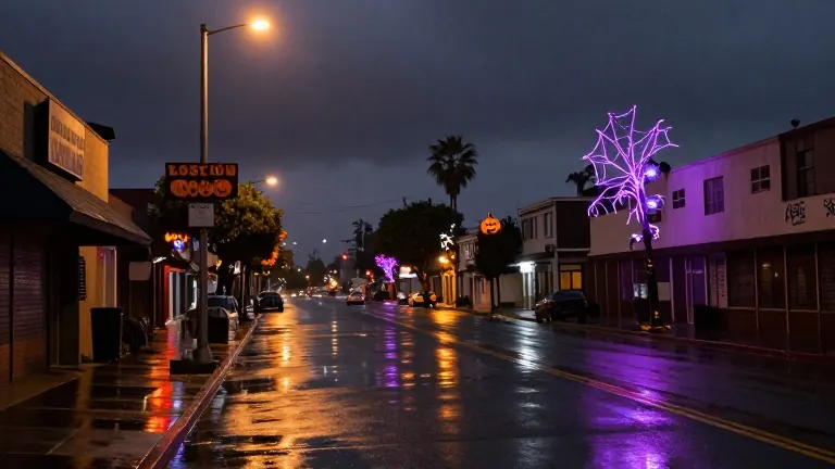
Rain returns for Halloween weekend and midweek
Forecasters predict wet conditions for Saturday and Sunday, with dry spells on Monday, Tuesday, and Election Day before thunderstorms arrive Wednesday.
By Stefan Kim ·
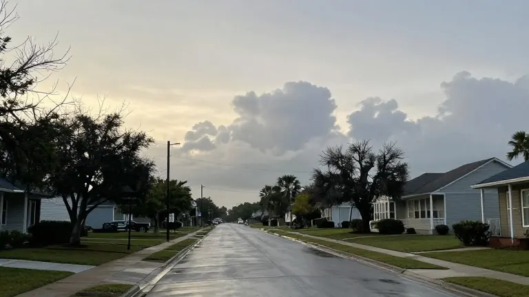
Residents of the Gulf Coast face two distinct rain events before the end of next week. Scattered showers are expected to interrupt plans on Halloween weekend, while a stronger frontal system brings thunderstorms on Wednesday. Weather forecasters advise households to prepare for wet conditions during these periods.
Friday provides a final dry window before the weather turns. Clouds will increase through the day, but precipitation is unlikely. Daytime temperatures will reach the low 80s, staying mild for late October. Friday night remains mild as the approaching system begins to affect the region.
Rain chances rise to 40% by Saturday afternoon. Scattered showers may continue through the evening, potentially affecting trick-or-treating activities. Temperatures on Saturday will hover in the low 70s, which is slightly warmer than the seasonal average. Planners for outdoor evening events should consider having an indoor backup ready.
The likelihood of precipitation jumps to 60% on Saturday night. Sunday presents a high probability of rain, with approximately one inch of rainfall forecast for the area. Most of this precipitation will fall as showers, creating wet conditions that could disrupt outdoor gatherings.
Conditions improve sharply on Monday and Tuesday. The departing system leaves these days dry and quiet. Temperatures will hold in the upper 70s, offering comfortable weather for outdoor activities. This dry period extends through Election Day, providing favorable conditions for voters heading to the polls.
A new weather front arrives on Wednesday, increasing rain chances to 70%. Thunderstorms are possible during this frontal passage. Forecasters note that it is too early to determine if the system will produce severe weather. Updates will be provided as the front approaches the region.
Temperatures will remain in the upper 70s for the rest of the week. The primary weather focus remains the two rain events, separated by the dry spell in the middle of the week.
Source: WALA-TV